The Great Adventure
Day 29 – 32

loading map - please wait...
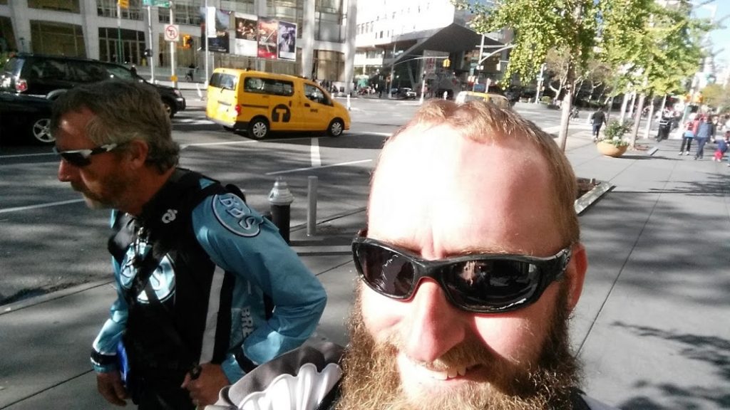
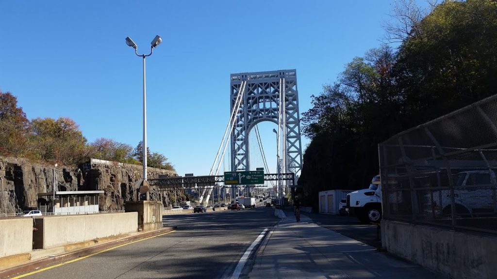
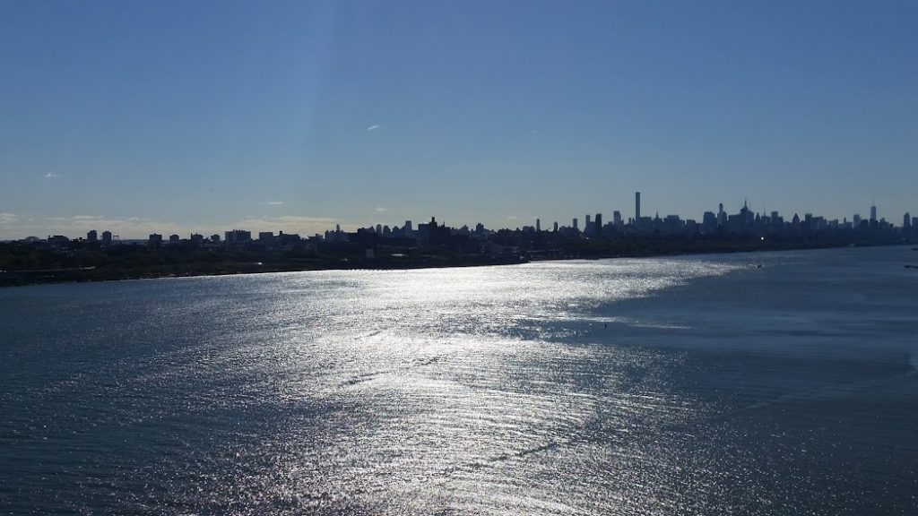
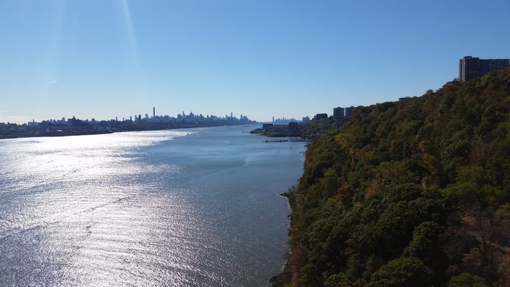
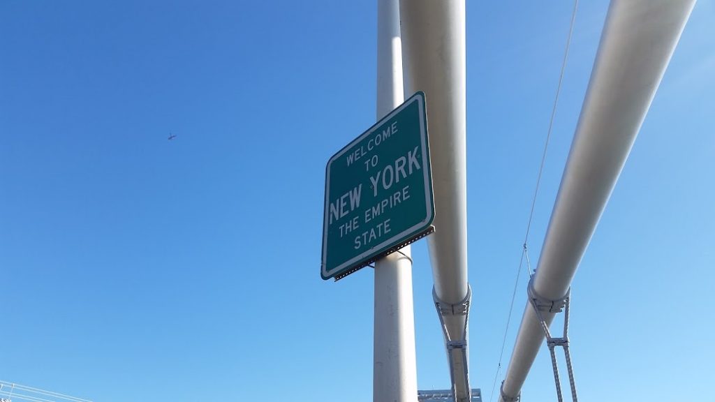
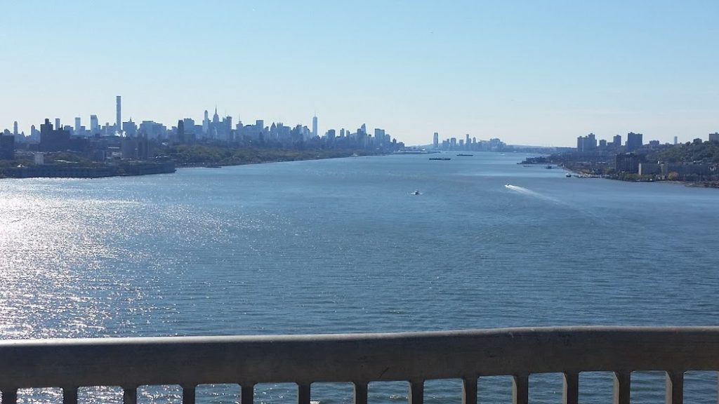
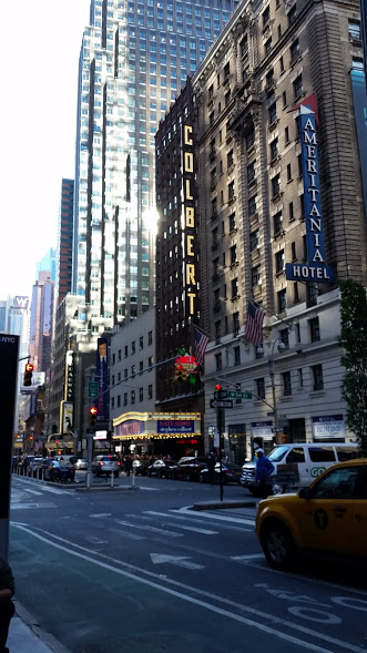
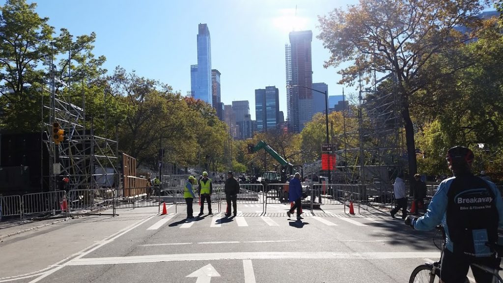
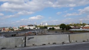
And the journey ends in New York City. Thanks to all who supported us and followed us on our journey.
Link to videos.Central Park, NY, United States | |
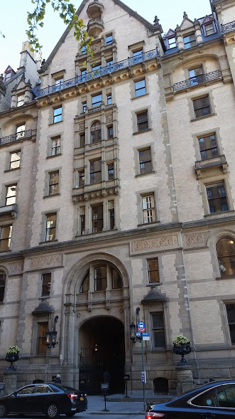
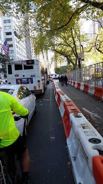
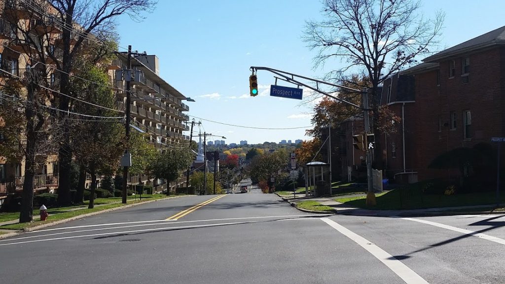
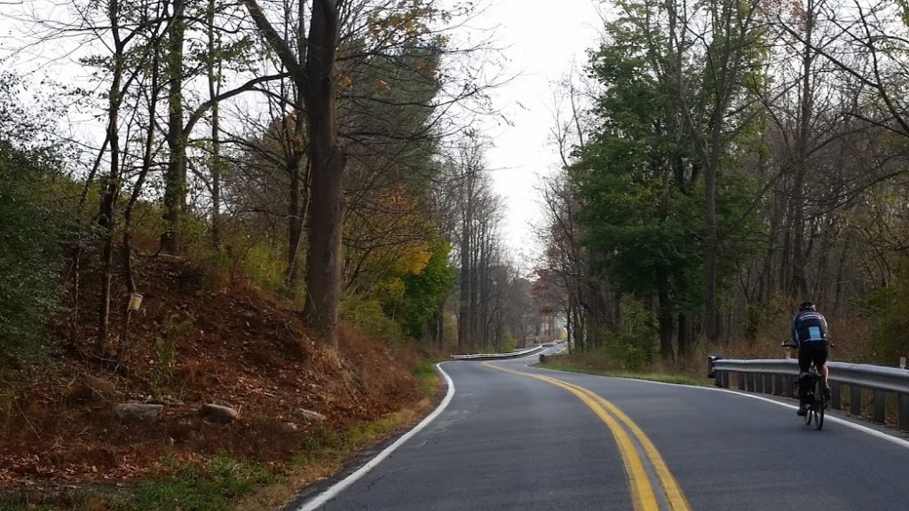
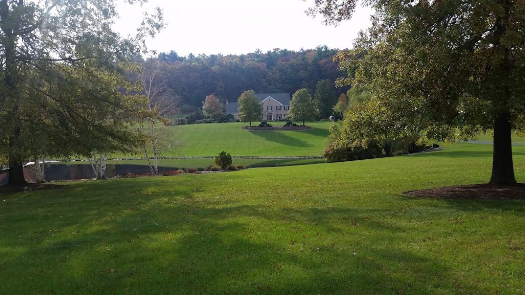
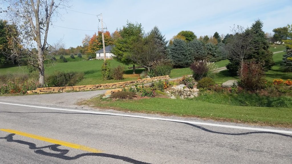
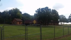
Pics from today's ride. Some more fascinating scenery and roads, unbelievable houses.
Link to videos.Morristown, NJ, United States | |
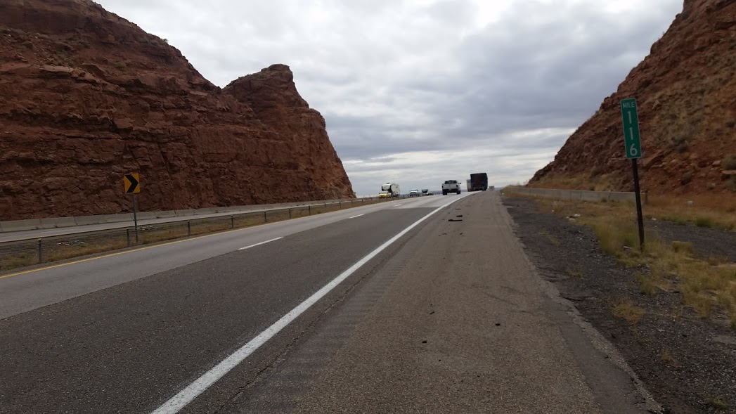
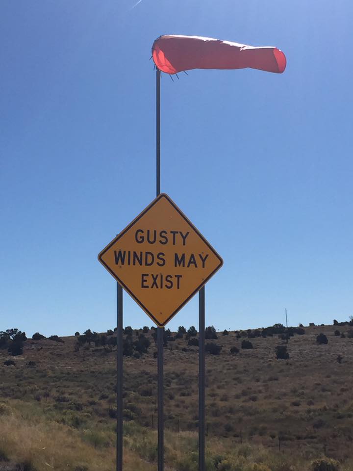
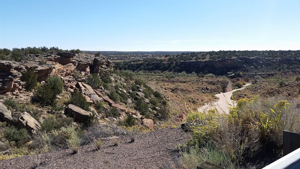
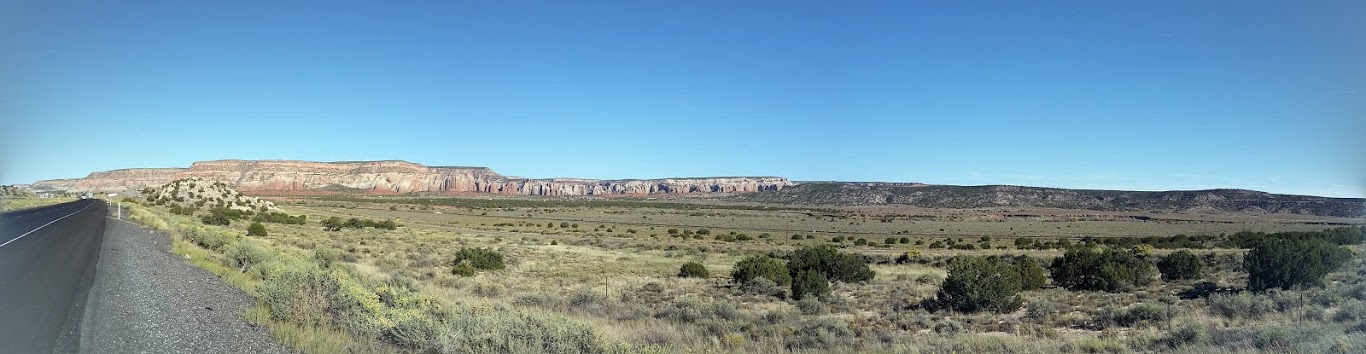
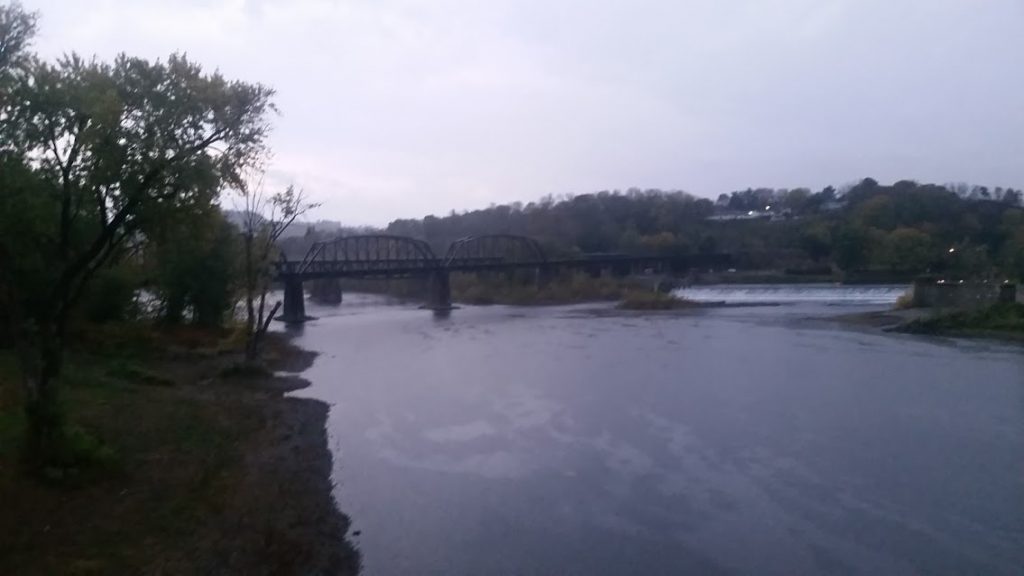
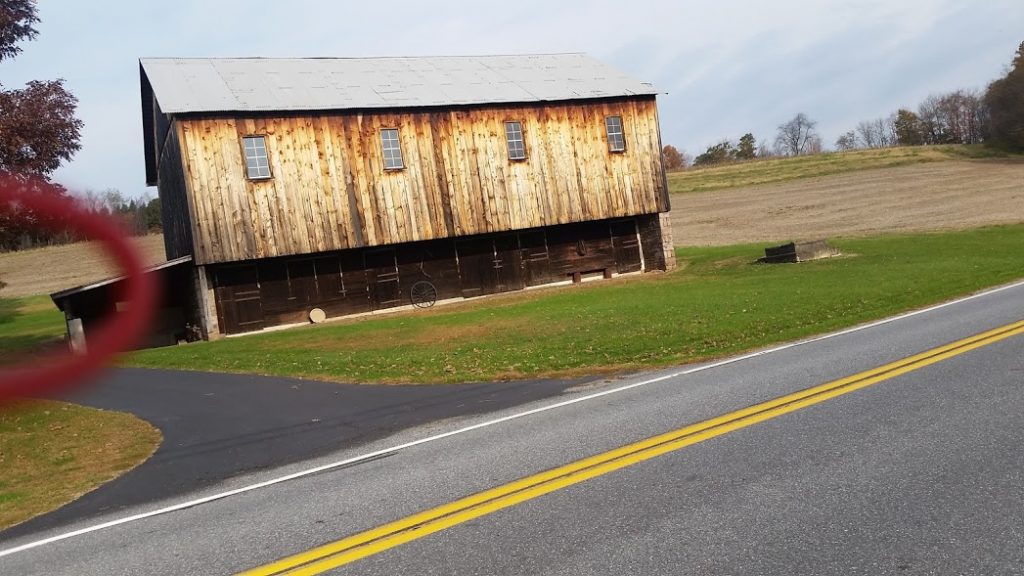
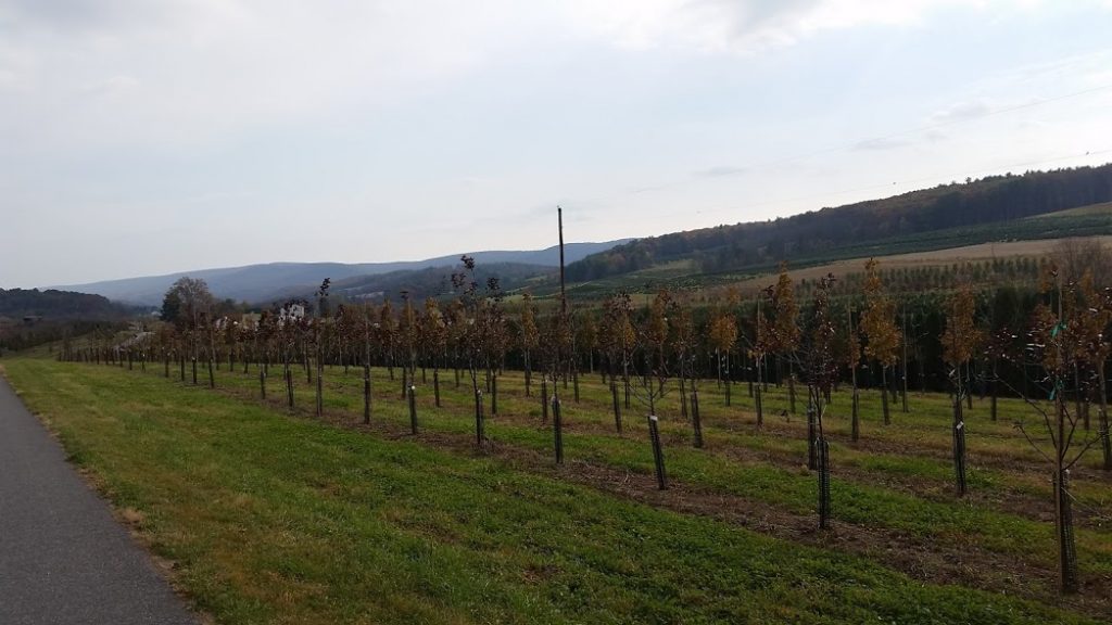
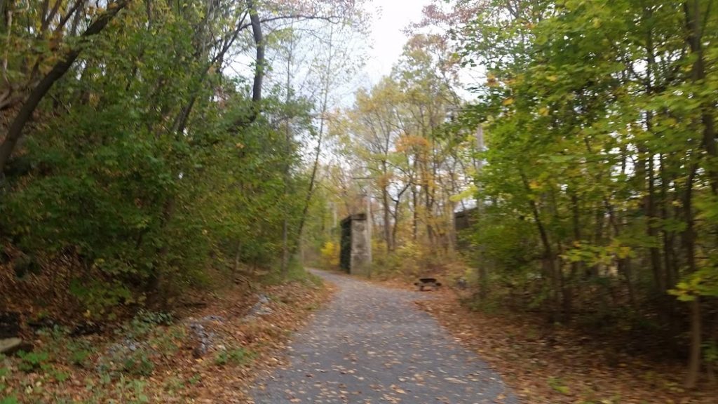
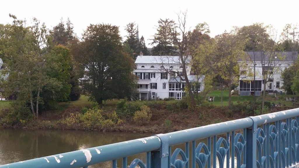
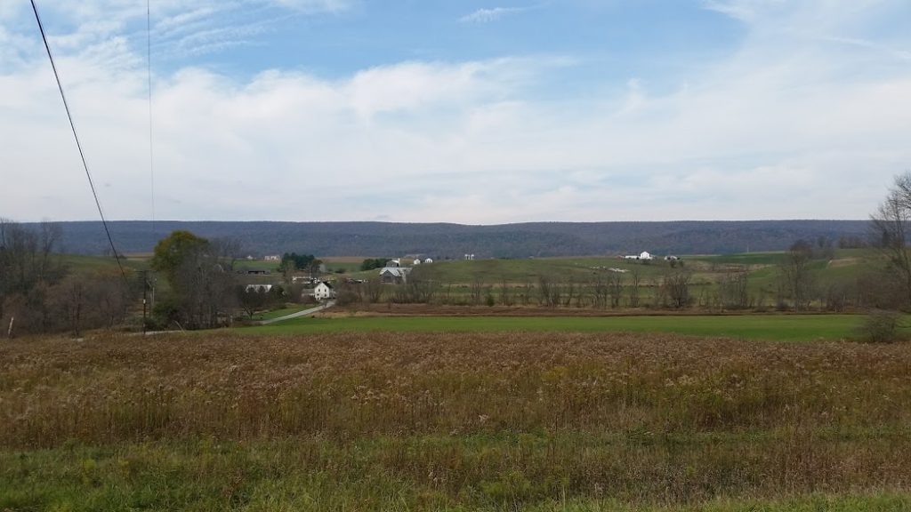
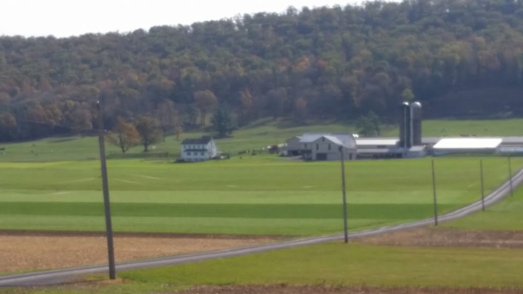
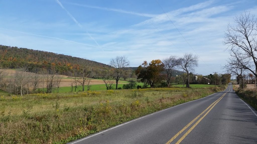
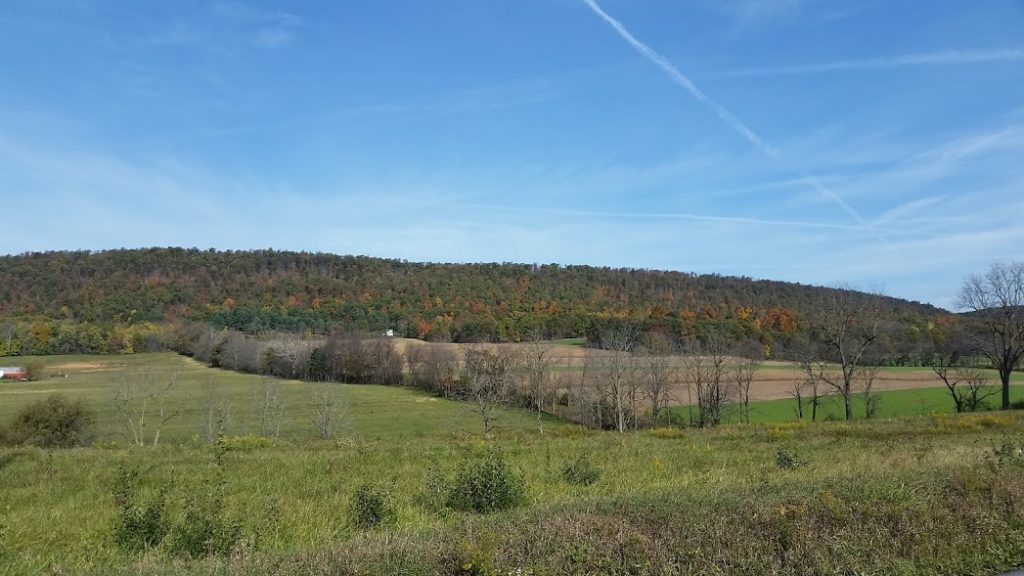
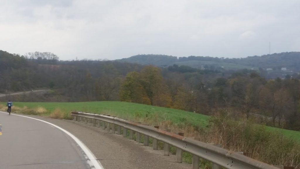
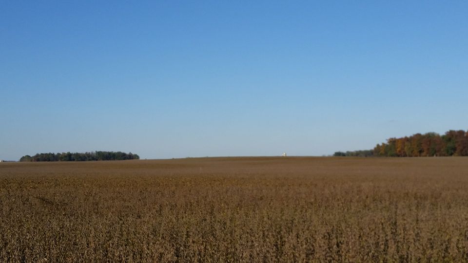
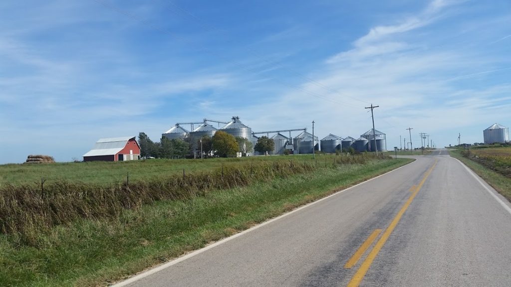
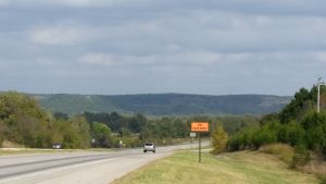
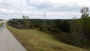
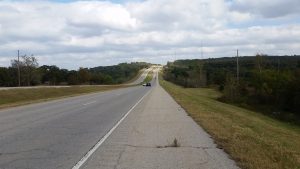
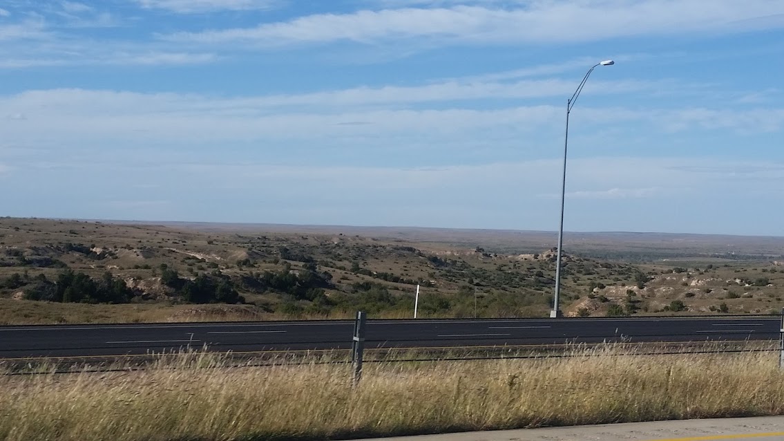
Really awesome country side today.
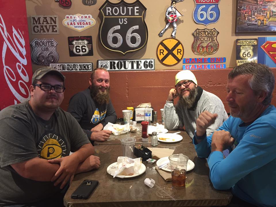
Link to videos.Pine Grove, PA, United States | |
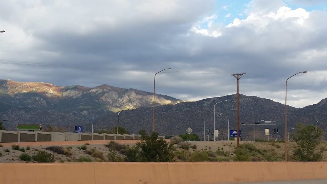
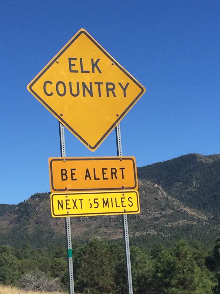
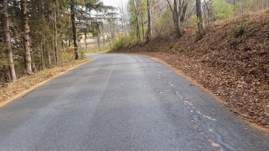
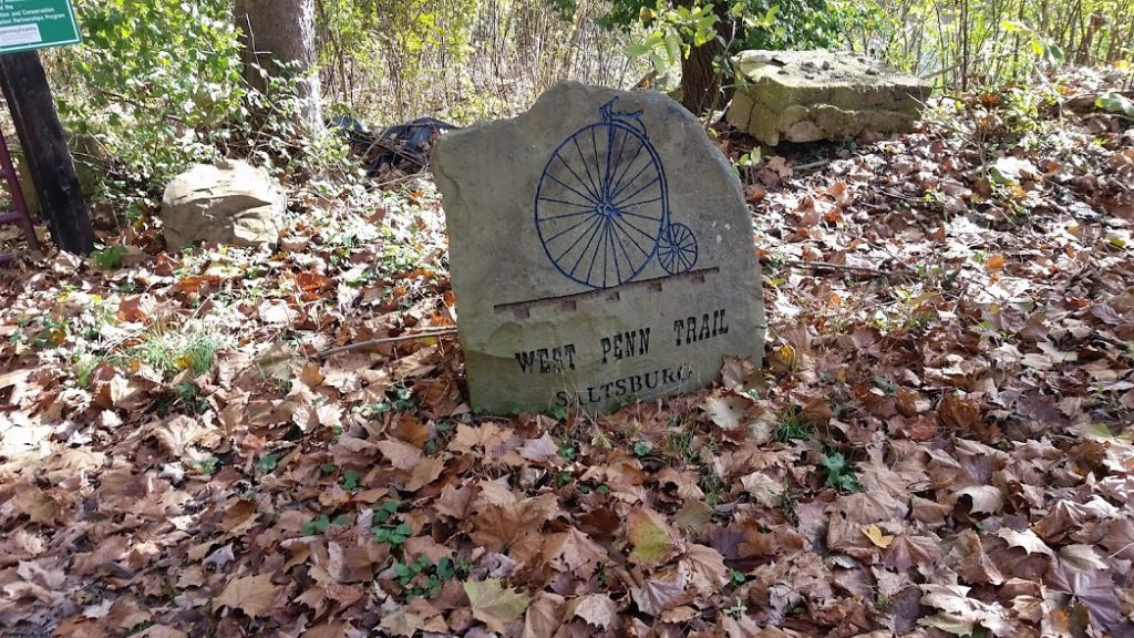
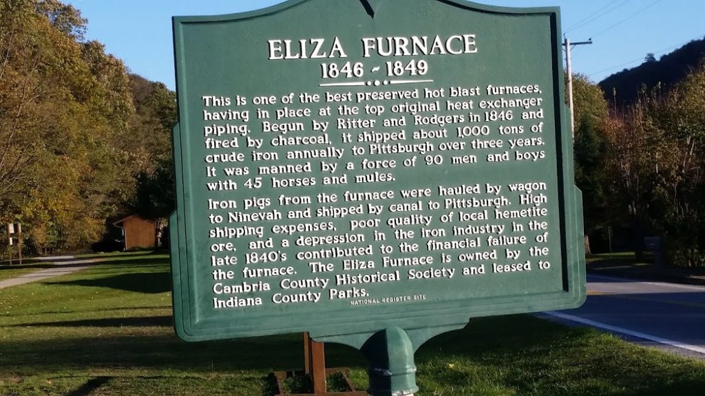
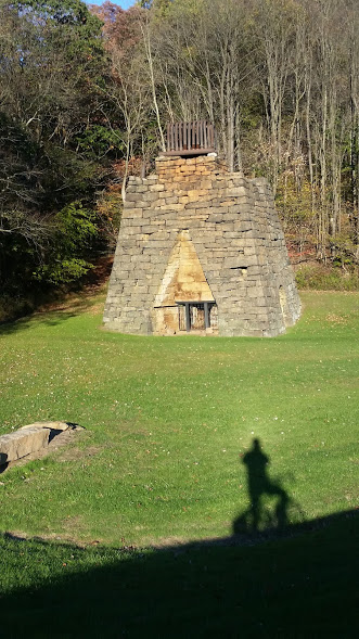
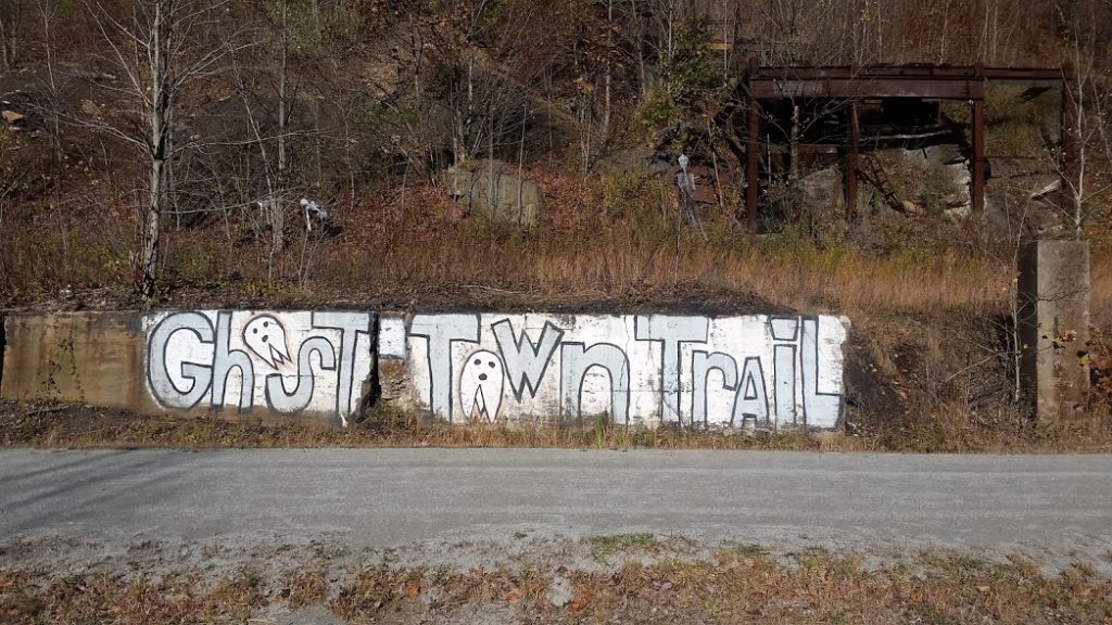
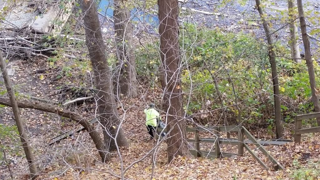
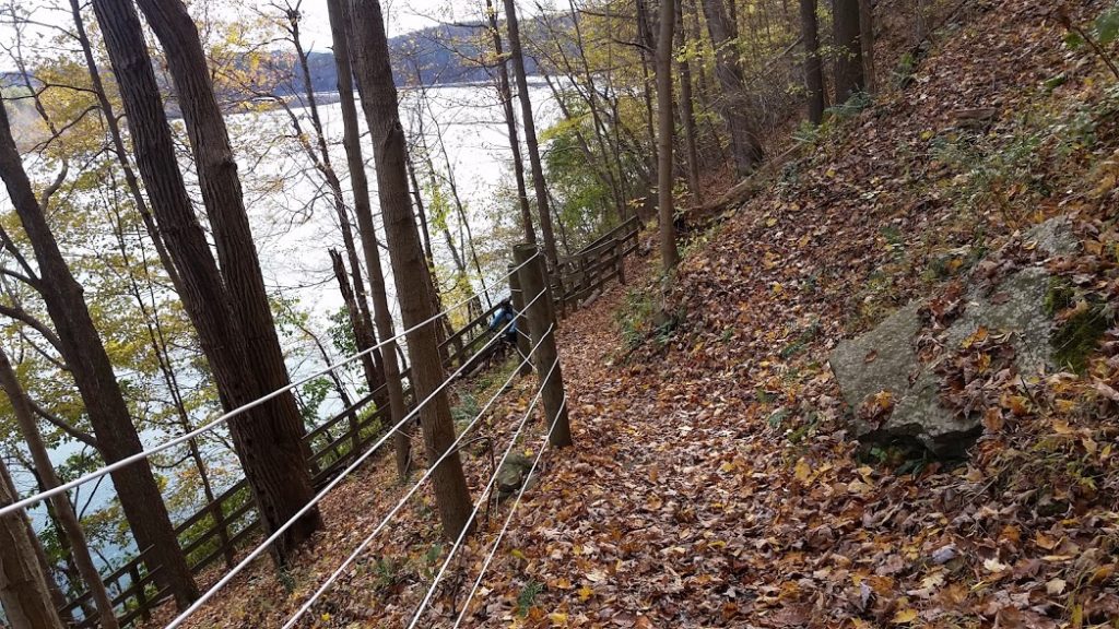
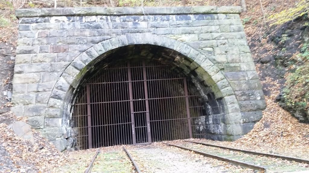
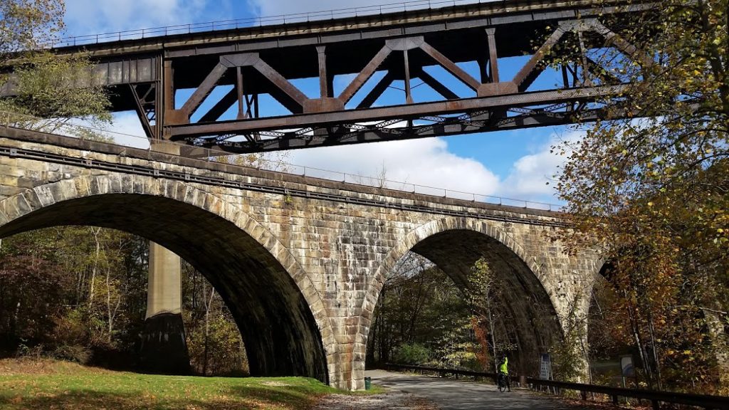
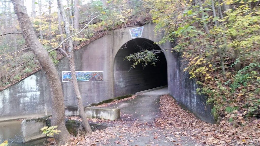
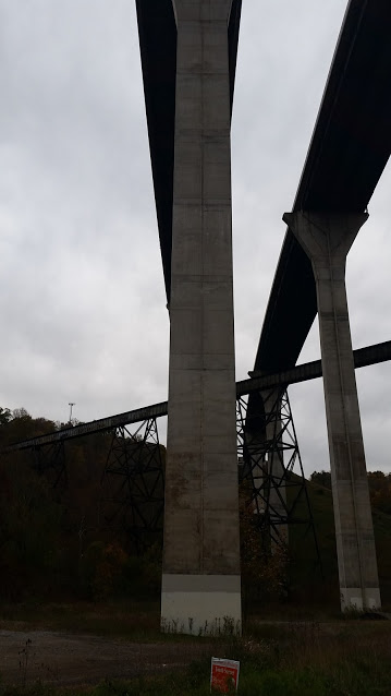
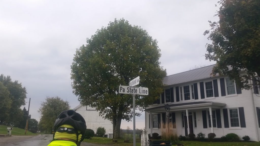
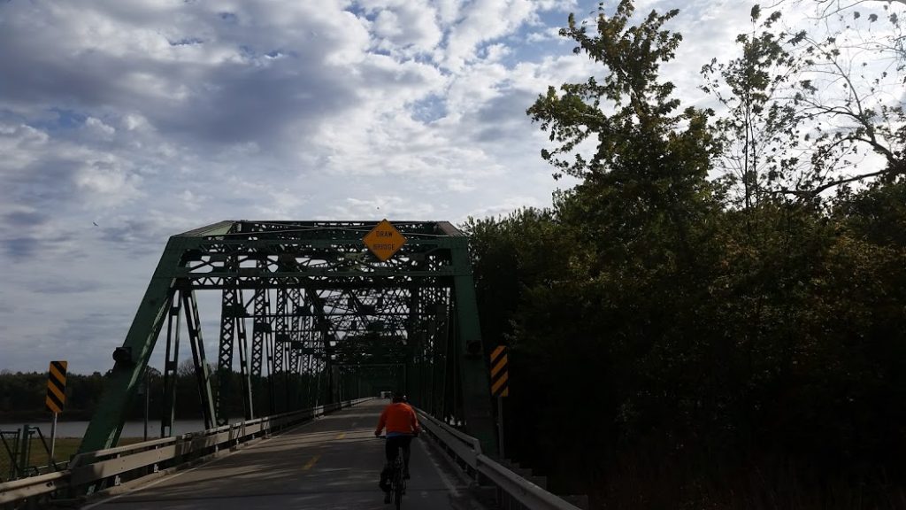
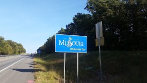
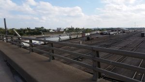
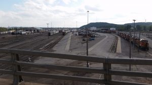
A wonderful day which consisted of mostly trail rides through the PA countryside. Historical blast furnaces that used to supply iron ore to Pitt, abandoned train caves, and waterfalls lined the way.
Link to videos.State College, PA, United States | |


Day 20 – 28

loading map - please wait...
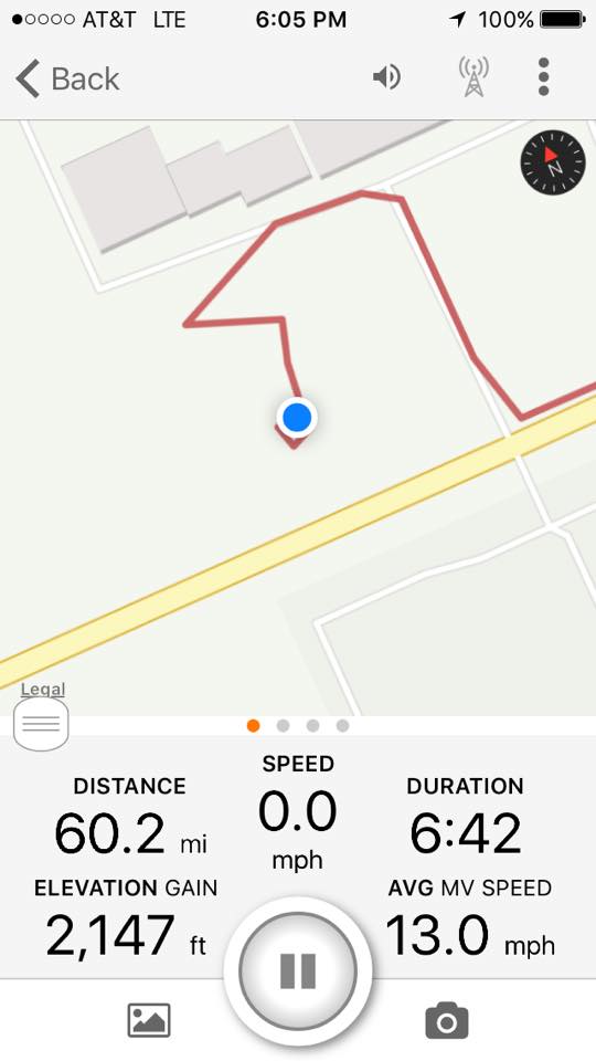
113 miles today.
| |
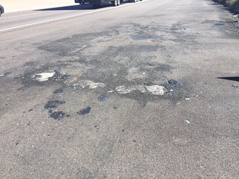
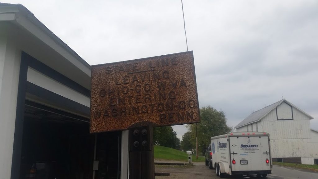
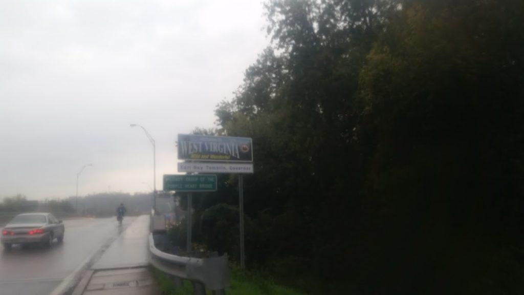
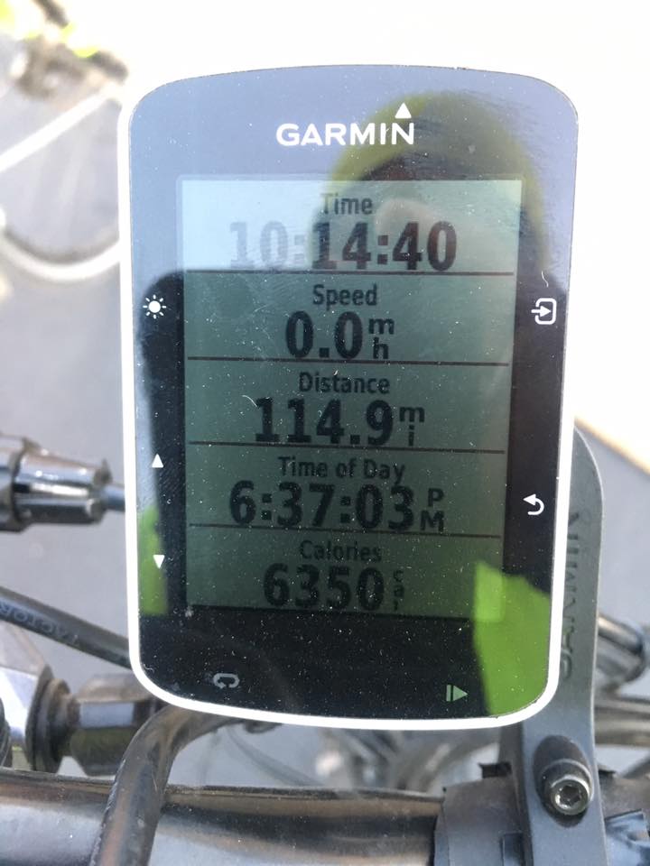
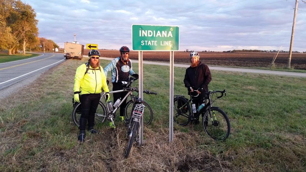
Rode 115 miles. Elevation 1100. Bedding down near the West Virginia border this evening. Good ride today with plenty of hills, pretty chilly, and some rain. We are just over 400 miles away from the Big Apple! Tomorrow we will be rolling through WV and into Pennsylvania. Hampton Inn Wheeling/St. Clairsville, National Road East, Saint Clairsville, OH, United States | |
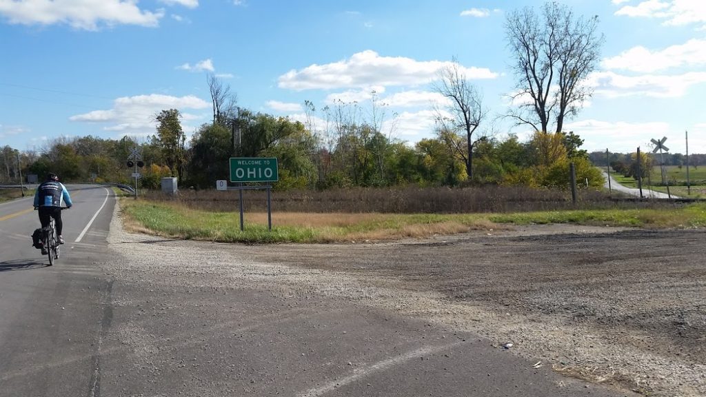
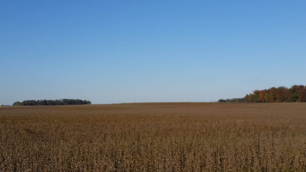
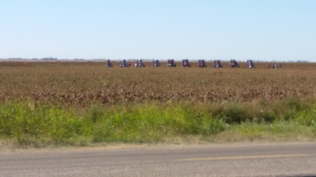
Rode 113 miles. Elevation 460. Saw a silo in the beans. In a week or so it will be the other way around.
DoubleTree by Hilton Newark Ohio, North 2nd Street, Newark, OH, United States | |
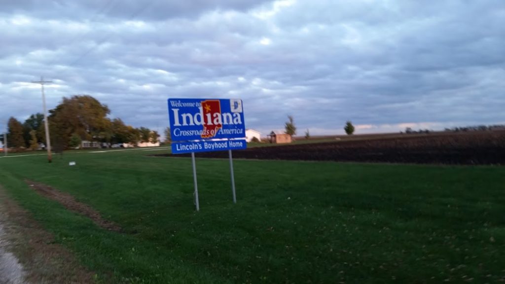
Rode 115 miles today. Good Weather. As they begin the final days of this incredible journey, we can't thank you enough for all your support and encouragement! They left Kokomo early Monday morning headed for Ohio.
Hampton Inn Sidney, Hampton Court, Sidney, OH, United States | |
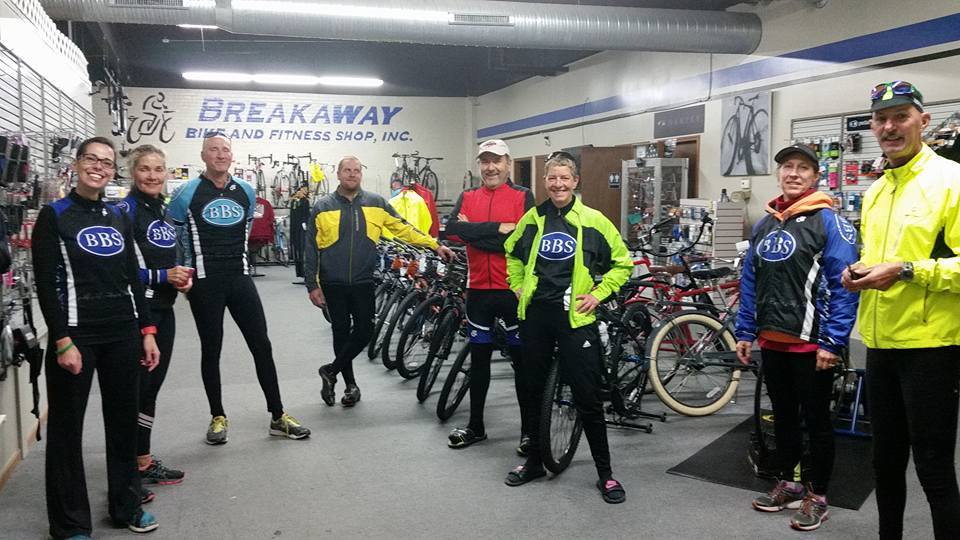
Look who's getting ready to meet the riders!
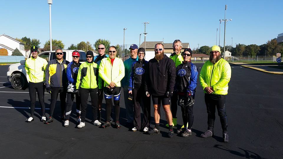
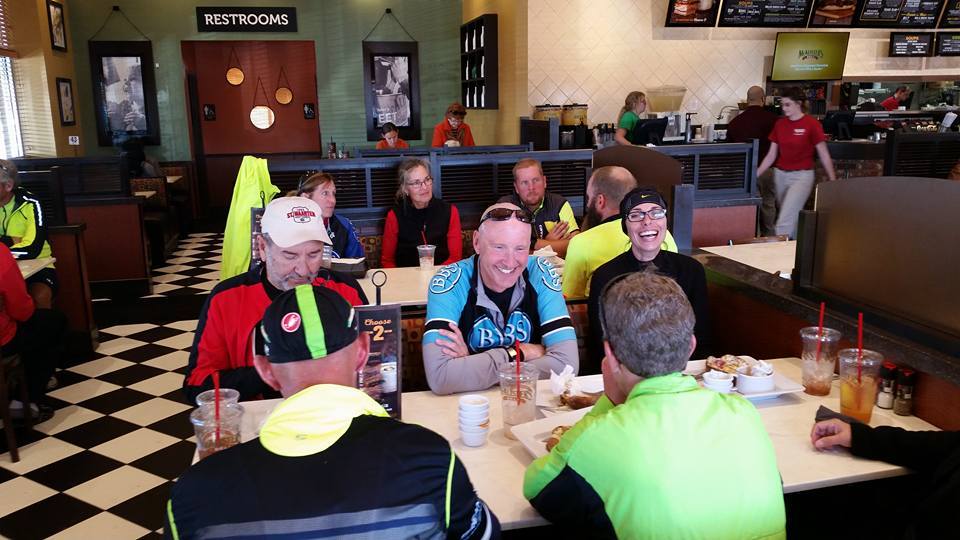
What a FANTASTIC day! Day 24 (Saturday) - 70 miles, our BBS Team rode 47 miles, the weather was great, (bonus tailwind ), positive vibes, nice lunch. So good for Zac, Jeff, and Joey to see familiar faces! Trip will resume on Monday
Kokomo, IN, United States | |
Rode 115 miles today. Elevation 455.
Attica Inn, North Long Avenue, Attica, IN, United States | |
Rode 115 miles today. Elevation 799.
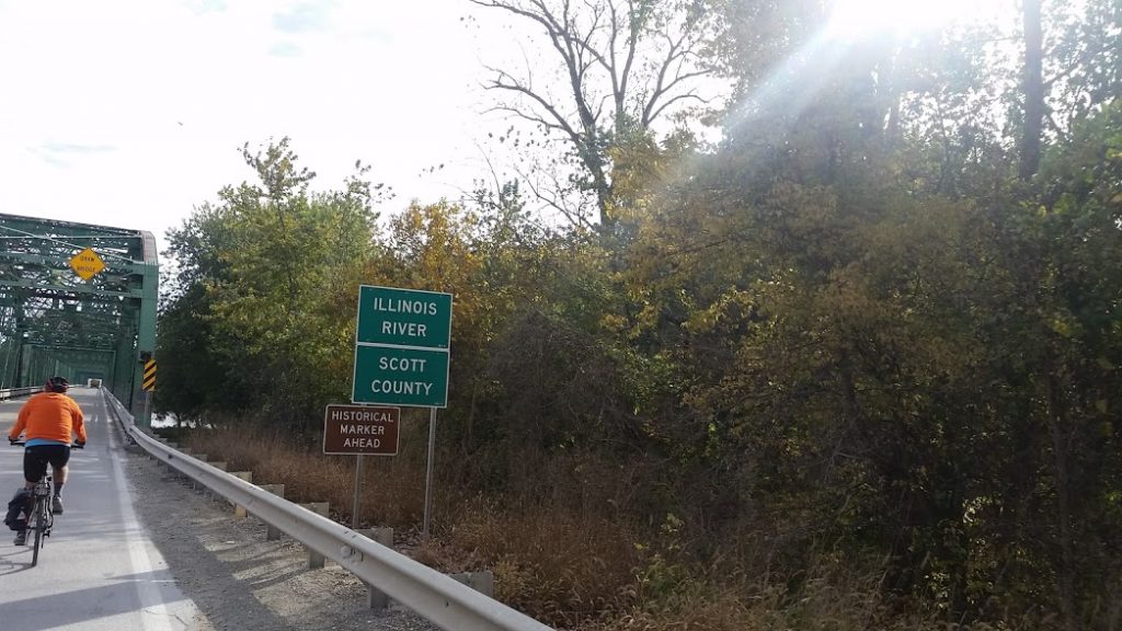
Link to video.Decatur, IL, United States | |
Rode 115 miles today.
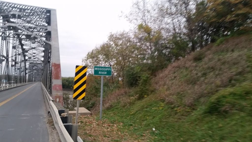
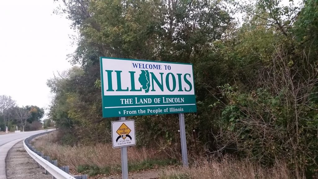
Big crossing ahead!
Annnd boom goes the dynamite. Another state down!
Link to video.Pittsfield, IL, United States | |
Rode 120 miles today. Elevation 720 Kind of hard to tell, but we saw a stealth bomber flying around today.
Link to videosColumbia, MO, United States | |

Day 11-19

loading map - please wait...
Long day Rode 130 miles. Lots of rolling hills, nice strong winds out of the south helped push to the north.
Link to video.Clinton, MO, United States | |
Rode 90 miles. Elevation 1240. Another state down! Boom baby! Only made it 90 miles today, but it was a good day. We're trying to get 100+ in per day but sometimes it's just not in the cards.
Joplin, Missouri, United States | |
Got 103.5 miles in today. Elevation 720. Good weather, no big mechanical issues, overall a great day. Staying in Claremore OK. Cruised by Tulsa today.
Claremore, OK, United States | |
It's nice to be off the interstate and be on some slower paced roads, much more enjoyable. We saw some other cyclists and a few runners out there too. Cool caboose yard art. I want one in my front yard
Link to videos.Stillwater, OK, United States | |
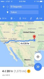
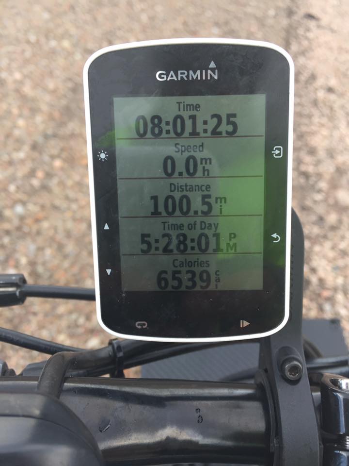
Rode 75 miles today. Elevation 1240. 1373 miles in the books so far! Tomorrow we will start our Northeast climb toward Kokomo. 9 days and 925 miles and we will be there. Today we were met with another cold/rainy day but it is done.
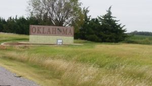
No pictures or videos today. It started out cold and windy and ended cold and rainy. We only got 75 miles today. Tough days like this are good, they test and build character. They help you truly appreciate the blue sky and sunny days on the bike. Anything worth doing is going to be challenging, it can be running a 5k, losing 10 pounds, getting an A in a hard class, lots of things, anything. It's not going to do itself for you, you have to get up, get moving, and get after "it", whatever "it" may be. Don't take it from me though, go find out for yourself. Set a goal, get after it Yukon, OK, United States | |
Rode 83 miles today. Elevation 1420.
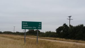
Link to videos.Clinton, OK, United States | |
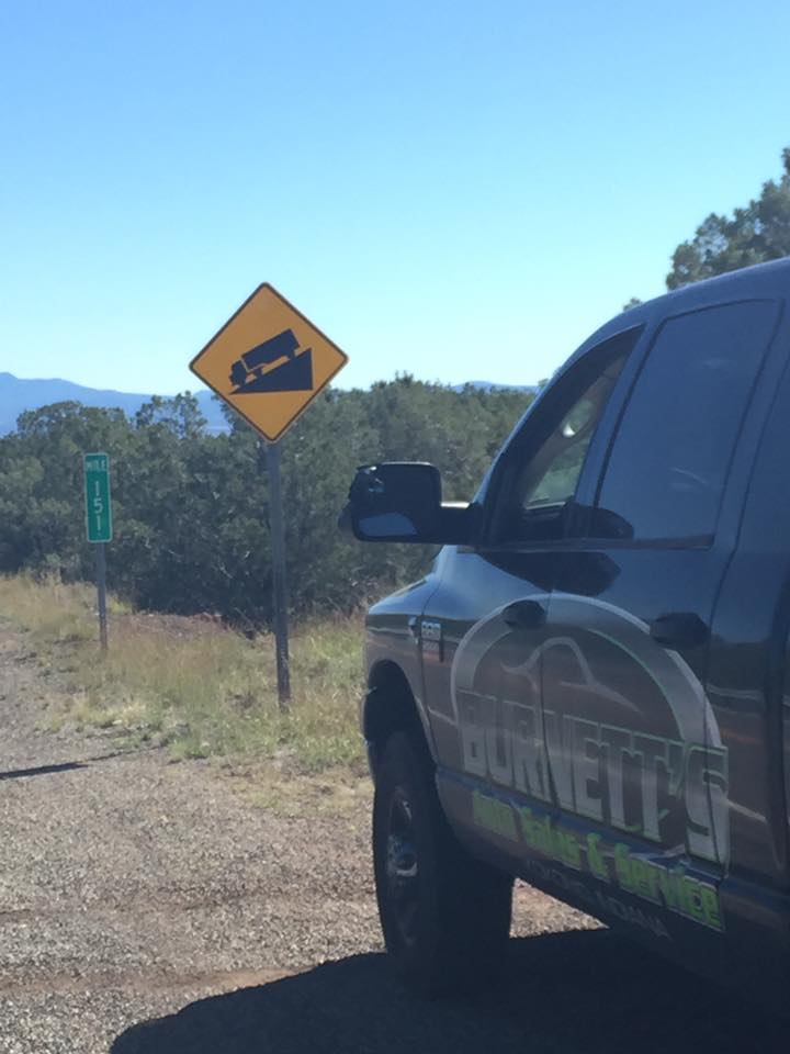
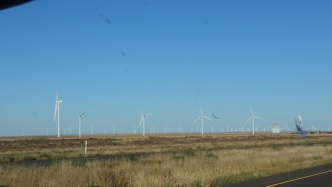
Rode 130 miles today. Elevation 2300. Nice tail wind again. Around home a 200 acre field is pretty big. Out here I can't even see the entire field. They have to be 2000-3000 acres easily. It's amazing.
Almost missed this as we rode by. It was cool to actually see it
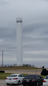
Link to videos.Shamrock, TX, United States | |
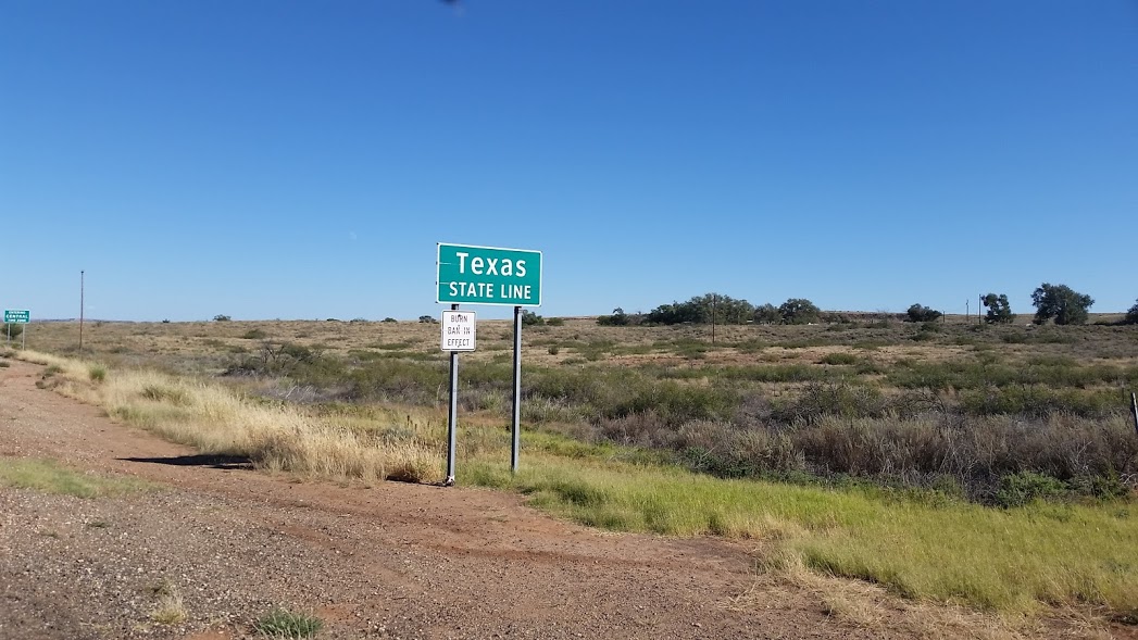
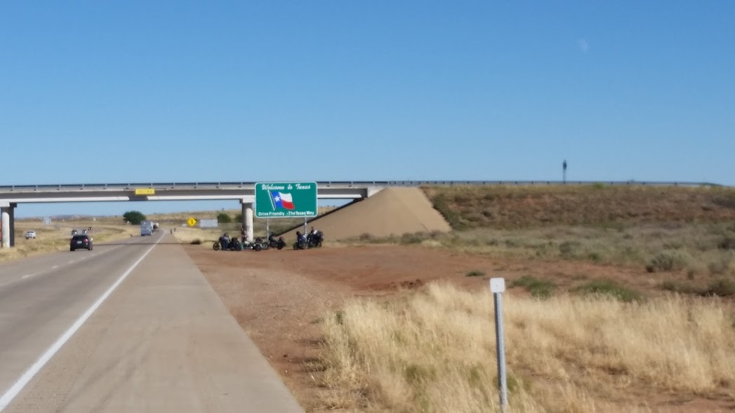
Rode 119 miles today. Elevation 3960. Good day today. We had a nice tailwind. Made it to Texas!! Another state down.
Link to videosVega, TX, United States | |
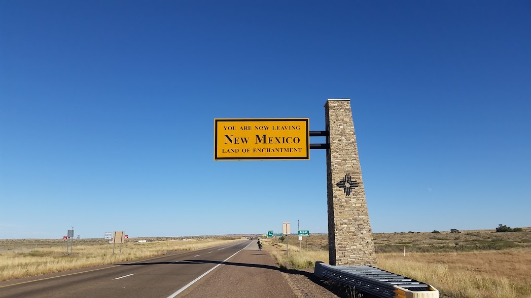
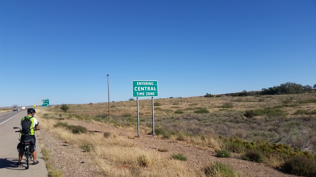
Rode about 100 miles today. Elevation 4540. Today was a scheduled "rest day" but instead we chose to bank some miles. With this century ride we are now exactly one day ahead of schedule. Staying in Santa Rosa, NM this evening. Tomorrow we will be heading into the Lone Star state.
Santa Rosa, NM, United States | |
Days 1 – 10

loading map - please wait...
Made it to Moriarty, NM, 100 miles for the day, 6000 feet elevation.
Link to videosMoriarty, NM, United States | |
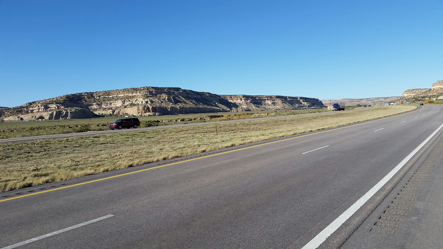
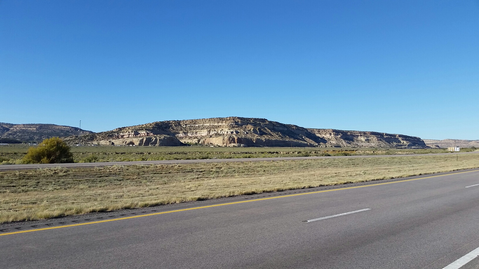
Completed 70 miles into the wind. Current elevation 6160. Beautiful day was overshadowed by the Strong headwinds and uphill climb! We pushed through it and ended with 70 miles for the day which felt like much more. Eating the Elephant one bite at a time. Straight line 30mph winds in our faces and rough roads on tap for today! Nothing we can't handle. Thanks Lord for the sunshine and fellowship.
Link to videoGrants, New Mexico, United States | |
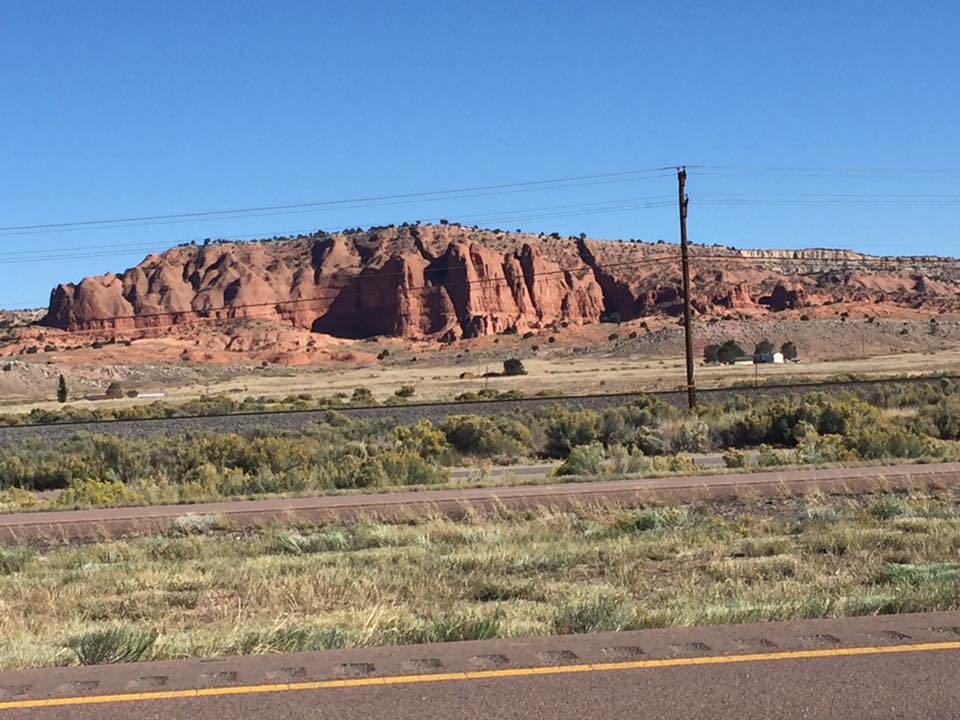
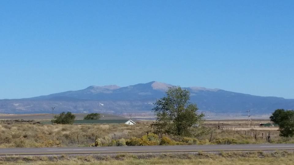
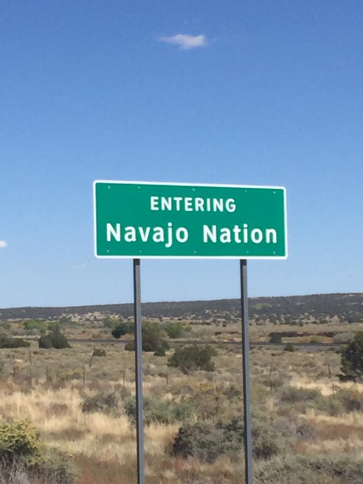
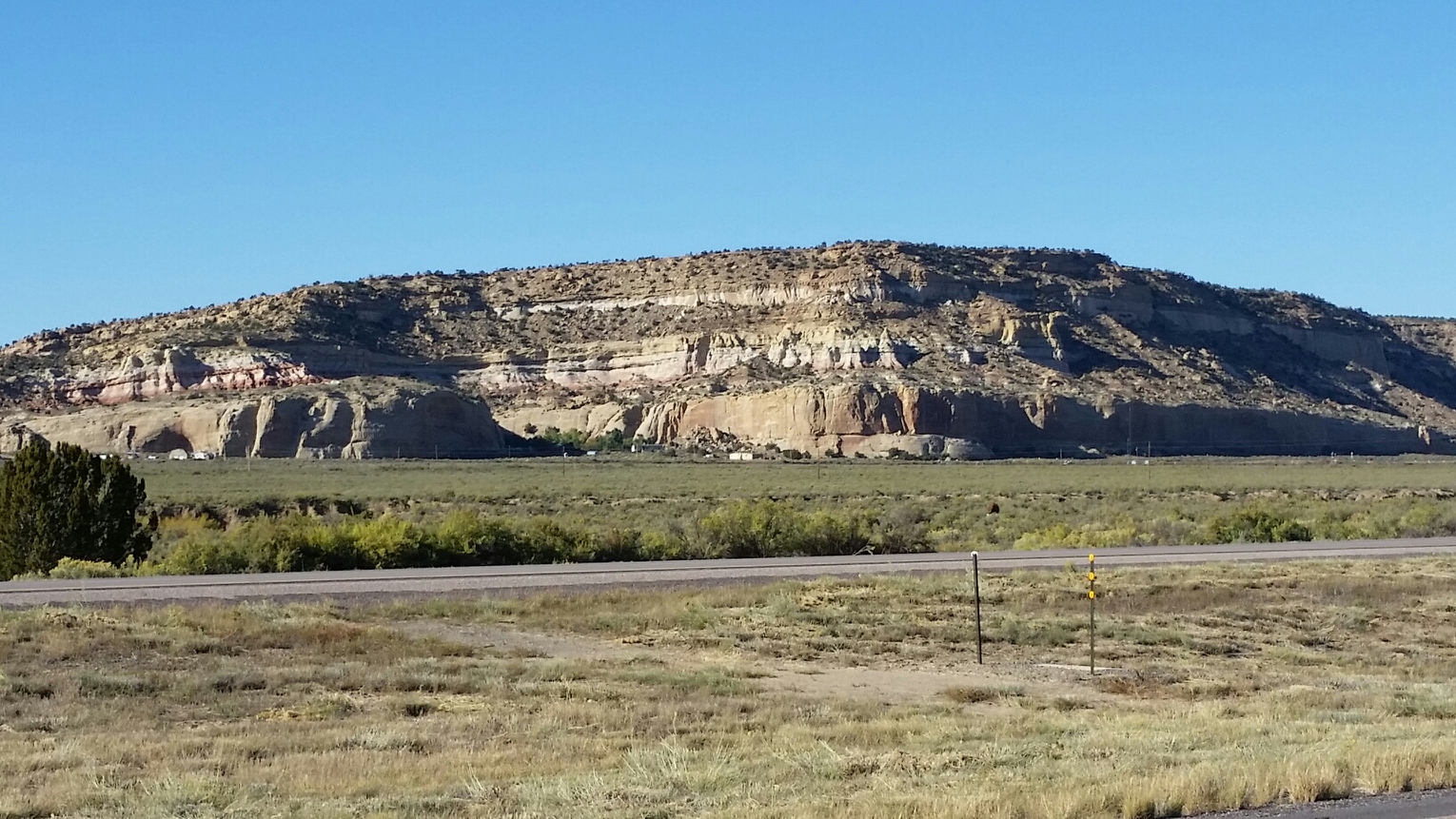
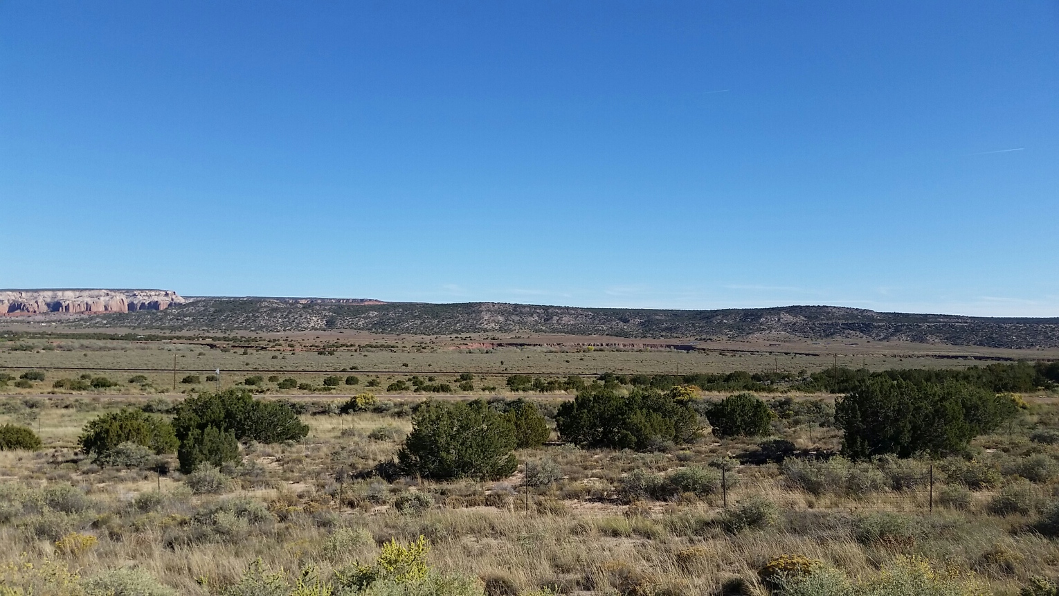
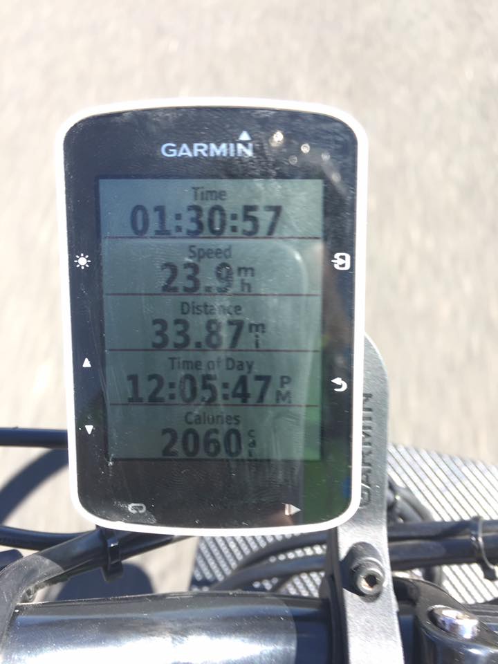
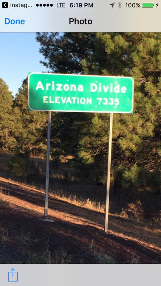
Rode 97 miles today. Current elevation 6340. We can hear the drums beating in the distance.
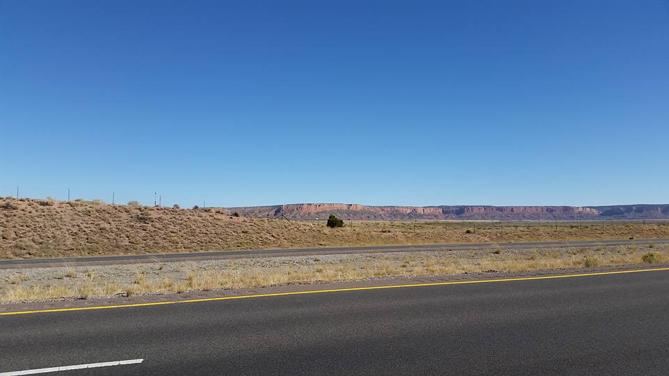
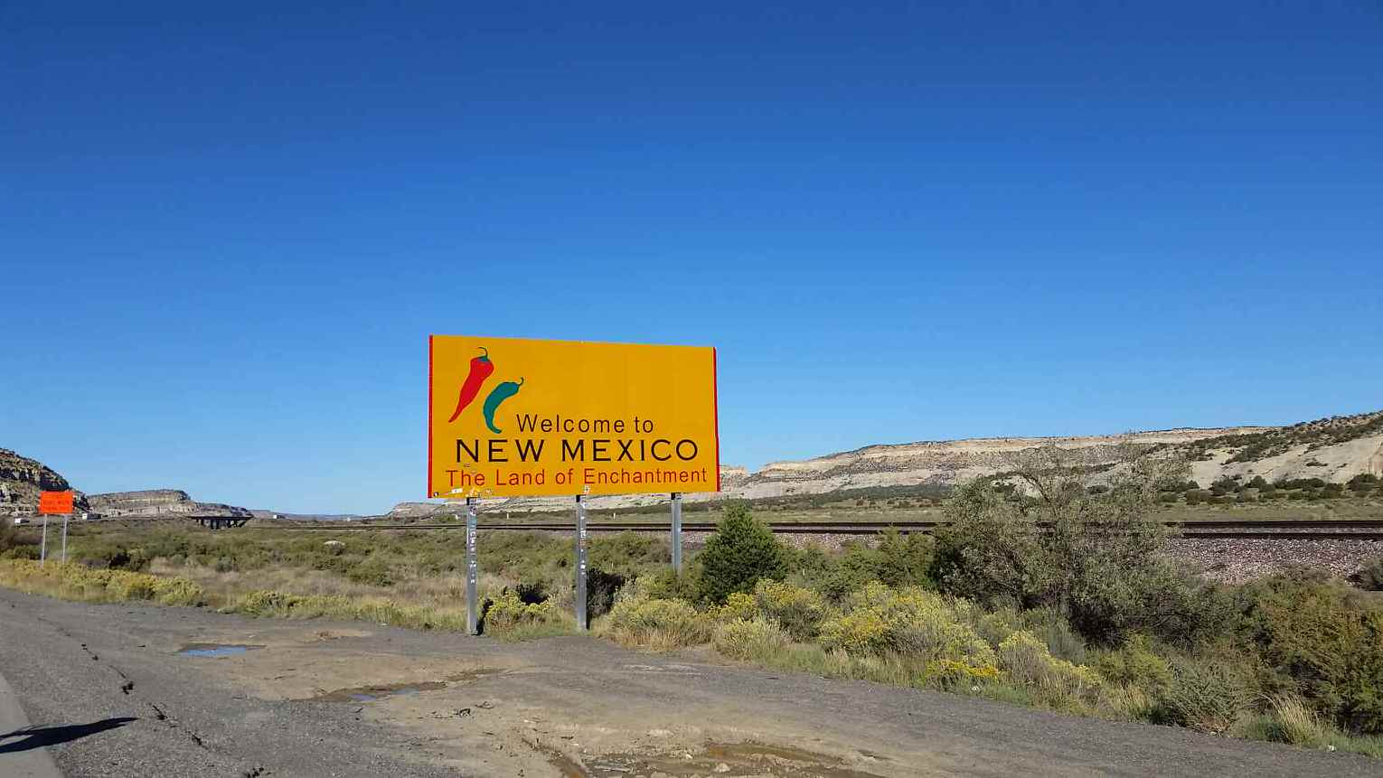
Peace out Arizona it was a real slice of heaven! Looking forward to seeing what is on tap in New Mexico. So far it is a beautiful State. Staying the evening in Gallup, NM.
Link to videoGallup, NM, United States | |
Rode 100 miles today. Well over a third of the way to Holbrook, AZ, in just an hour and a half! Beautiful day for riding, legs feel good, wind is at our backs, and there is a nice drop in altitude.
Kicking it up and eating like Kings in Holbrook, AZ this evening. Tomorrow we make our way into New Mexico.
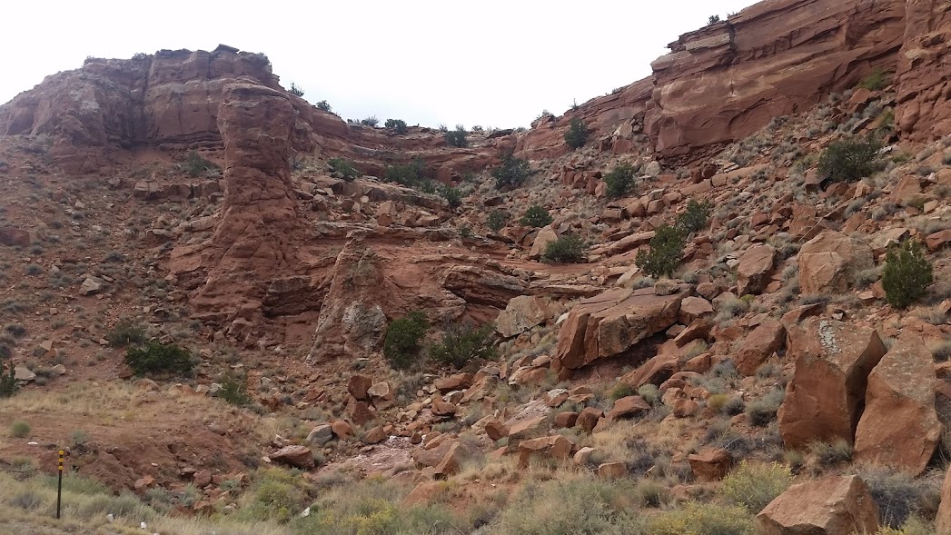
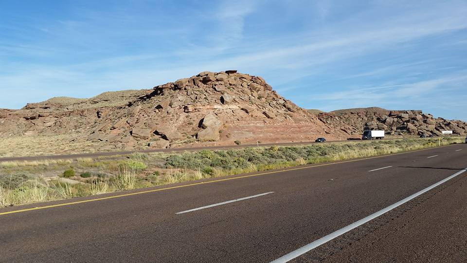
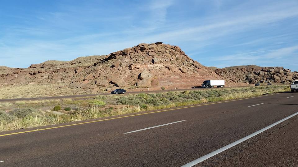
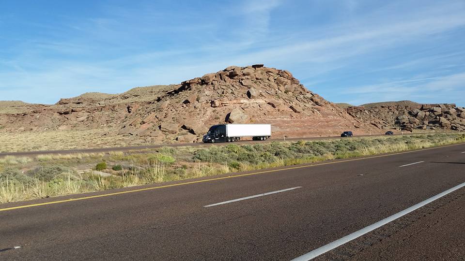
Here are a couple pics from the end of the ride today. I thought it was cool how the rocks were falling apart almost like they were bricks falling out of a wall. I caught the semi going by for perspective.
Holbrook, AZ, United States | |
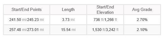
Completed approximately 80 miles today. Getting our kicks on Route 66 in Seligman, AZ. Feeding the horses before our long day of biking. Plan today is to be in or past Flagstaff
Looks like we are still climbing. Definitely can feel it on the lungs but it looks as though that is going to get better for the next few.
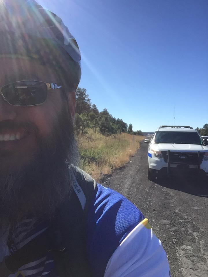
I was going so fast got pulled over by Arizona State Trooper Shields. He is actually a wonderful man just checking on this crazy fella riding down Interstate 40. Had a great chat with him and he seemed intrigued by our ride.
We made it to Flagstaff for the night!
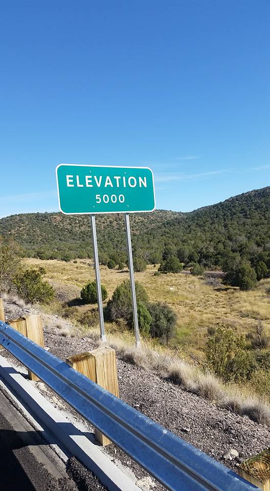
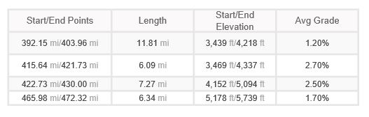
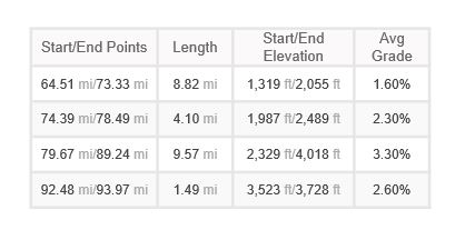
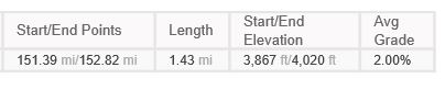
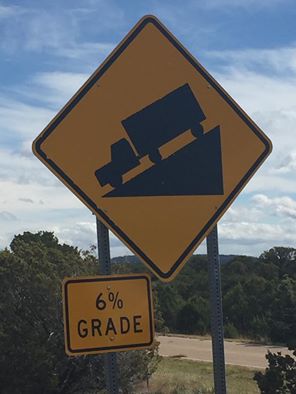
Climb Details
Hilton Garden Inn Flagstaff, West Forest Meadows Street, Flagstaff, AZ, United States | |
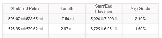
Completed approximately 80 miles today. Out of all the natural beauty that we have seen it pales in comparison to seeing "Old Glory" flying proudly in the desert! Our thoughts on this day are with those that are no longer with us. Their selfless sacrifice protecting what this flag stands for is the reason why we are able to ride our bicycles across this great land. Hope you will join us in always standing to give this symbol of our freedom the respect it so deserves.
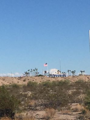
Every good bike ride across America requires a picnic on the side of a one lane Interstate through hair pin curves! Ain't no hill for these Indiana boys.
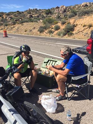
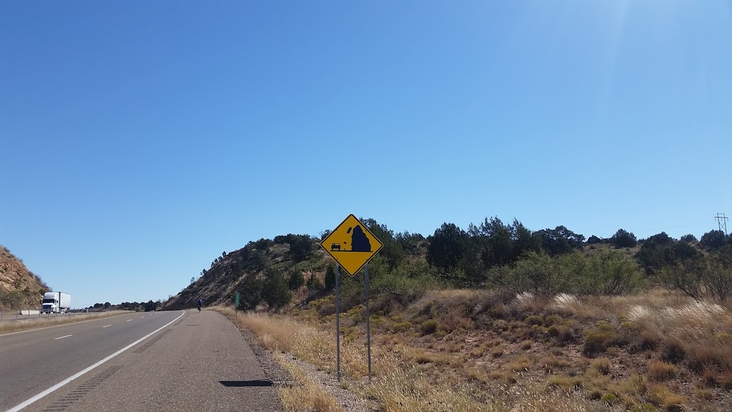
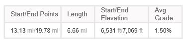
It is no joke! The climb was steep and the air is thin. We topped out around 5400 I think.
Climb Details
Link to videoDeluxe Inn, Arizona 66 Scenic, Seligman, AZ, United States | |
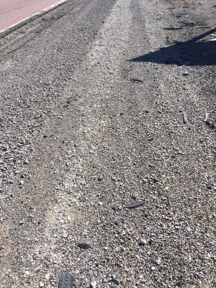
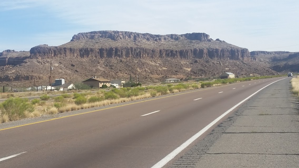
There is hot and then there is desert kinda hot! Have seen 30 of these burn out spots where a car was on fire.
Climb Details
Link to videosKingman, AZ, United States | |
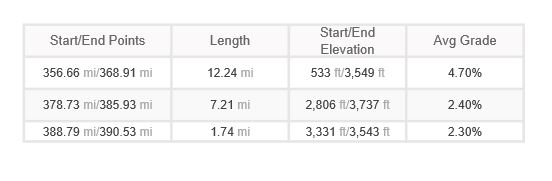
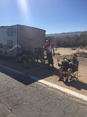
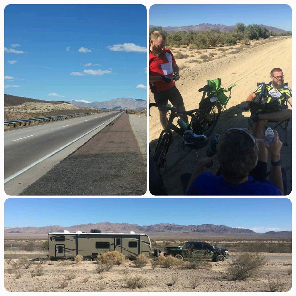
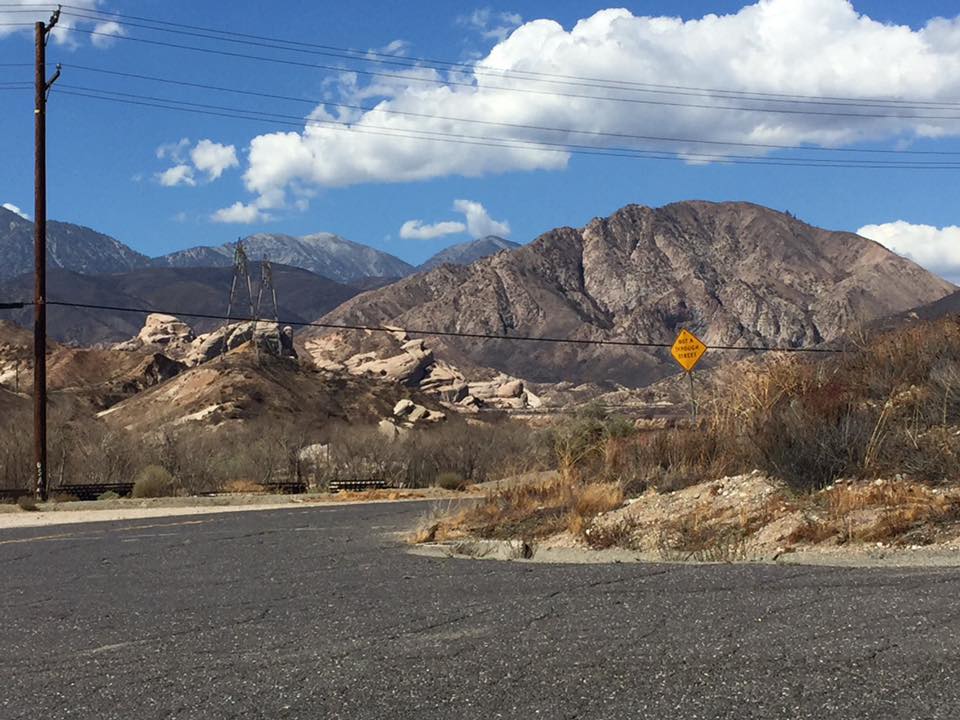
Staying the night in a seedy rest area about 30 miles West of Needles. Got 101.6 miles in today. The hills and wind were fierce but we got it done.
Climb Details
Link to videosNeedles, CA, United States | |
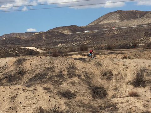
Pulled off a pretty decent day and rode a century despite the heat and crazy hills! We are bedding down in Barstow this evening.
Climb Details
Link to VideosBarstow, CA, United States | |
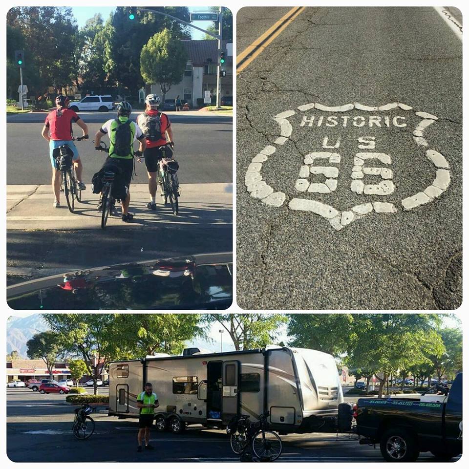
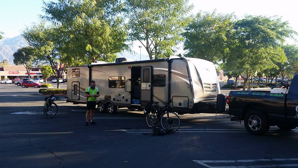
Completed a little over 60 miles today.
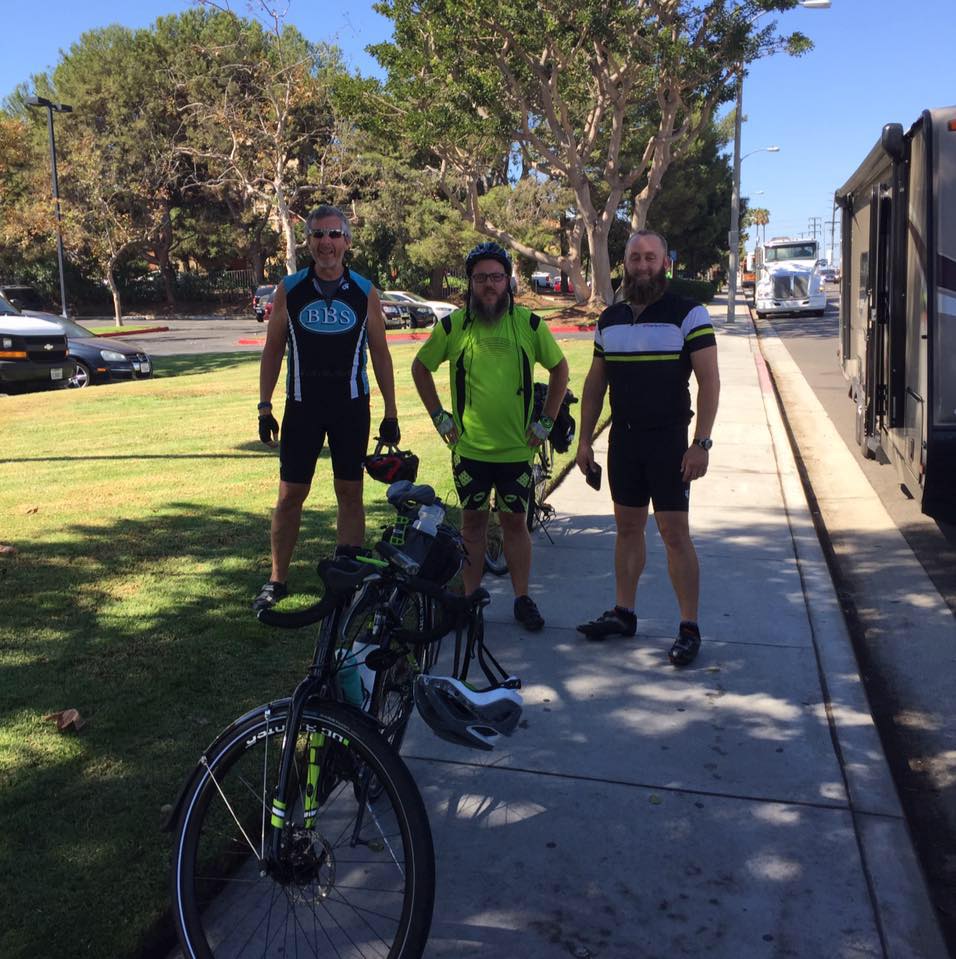
End of Day 1 Today's stats not bad for a bunch of fat Indiana fellas! Very little sleep, In&Out for lunch, and a 60 miler to warm the legs up. We stopped into the local health club, downloaded their App and got a free 7 day membership. Hot showers was a score!!!
Link to videos
Rancho Cucamonga, CA, United States | |